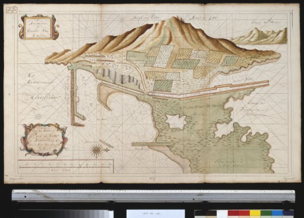
Afteekening van de haven of Port de Cette in de Middellandsche Zee aen de kust van Langedoc int grood
ArcGIS, QGIS or web apps can simply
use this map with web map services.
WMTS, TileJSON or XYZ tiles
are provided for quick access to processed maps.
Sign in to get links.