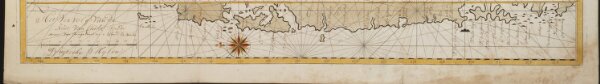
Het Vervolg van de Kust van Chili van de Straat van Magalanus tot 't Eyland La Mocha
ArcGIS, QGIS or web apps can simply
use this map with web map services.
WMTS, TileJSON or XYZ tiles
are provided for quick access to processed maps.
Sign in to get links.