Leiden University
ArcGIS, QGIS or web apps can simply use this map with web map services. WMTS, TileJSON or XYZ tiles are provided for quick access to processed maps.
Sign in to get links.
Sign in to download GeoTIFF.
Overlay & compare
iiif viewer, iiif info json
Website
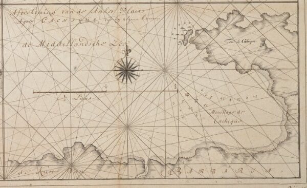
Afteekening van de anker plaets agter Cachique digt bij Algiers bewesten
COLLBN003-05-005_4
pilot
Algeria
1725
Gerard van Keulen